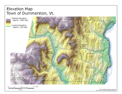
This map is a hypsometric, elevation, map of the town of Dummerston, Vermont. It shows the elevation progressions of this town by using various colors to indicate the progressions. This map also uses isohypses to show progression as well. This map was updated January of this year.
The URL for this map is: http://mappery.com/maps/elevation-map-of-dummerston-vermont.thumb.jpg
No comments:
Post a Comment